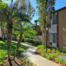
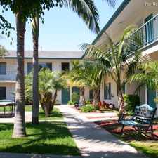
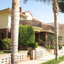
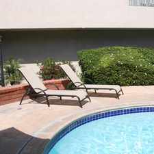
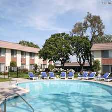
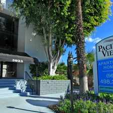
1650 Pacific Coast Highway
Most errands can be accomplished on foot.
Score Details
1650 Pacific Coast Highway has a Walk Score of 74 out of 100. This location is Very Walkable so most errands can be accomplished on foot.
This location is in Seal Beach. Nearby parks include Zoeter Field, Eisenhower Park and Gum Grove Park.
The closest school is J. H. McGaugh Elementary School.
The closest grocery stores are Dolphin Market, Fresh & Easy and Whole Foods Market.
Nearby coffee shops include Blackboard Bistro, Starbucks and The Crema Cafe. Nearby restaurants include Mahe, Coach's Sports Grill and Sushi Ryokan.
1650 Pacific Coast Highway is near Eisenhower Park, Marina Community Park and College Estates Park.
Explore how far you can travel by car, bus, bike and foot from 1650 Pacific Coast Highway.
Bus lines:
1 Long Beach - San Clemente
0.0 mi
42 Seal Beach - Orange
0.0 mi
View all Seal Beach apartments on a map.

Popular apartment searches include furnished, pool and fitness.
This location is in the city of Seal Beach, CA. Seal Beach has an average Walk Score of 39 and has 24,168 residents.
Learn More About Seal Beach


If you are using a screen reader or having trouble reading this website, please call Walk Score customer service at (253) 256-1634.
© 2024 Walk Score