
Daily errands do not require a car.

Transit is convenient for most trips.
About your score
This location has a Walk Score of 91 out of 100. This location is a Walker’s Paradise so daily errands do not require a car.
This location is a two minute walk from the Central Coast and Newcastle Line and the T1 North Shore and Northern Line at the Milsons Point Station Platform 2 stop.
This location is in the Milsons Point neighborhood in Sydney. Nearby parks include Bradfield Park, Hopkins Park and North Bradfield Park.
Explore how far you can travel by car, bus, bike and foot from this location.
This location has excellent transit which means transit is convenient for most trips.
Rail lines:
Central Coast and Newcastle Line
0.2 km
T1 North Shore and Northern Line
0.2 km
Southern Highlands Line
1.5 km
T2 Inner West and South Line
1.5 km
T3 Bankstown Line
1.5 km
T2 Airport Line
1.5 km
Bus lines:
184 City to Mona Vale
0.1 km
L87 Milsons Point to Newport (Limited Stops)
0.1 km
227 Milsons Point to Mosman
0.1 km
653 West Pennant Hills to Milsons Point
0.1 km
L84 Milsons Point to Mona Vale (Limited Stops)
0.1 km
L78 Milsons Point to Dee Why (Limited Stops)
0.1 km
287 Milsons Point to Ryde
0.1 km
173 Milsons Point to Narraweena
0.1 km
230 Milsons Point to Mosman Wharf
0.1 km
612X Kellyville to Milsons Point via North Sydney, Lane Cove Tunnel and Castle Hill
0.1 km
This location is in the Milsons Point neighborhood. Milsons Point is the 27th most walkable neighborhood in Sydney with a neighborhood Walk Score of 91.
If you are using a screen reader or having trouble reading this website, please call Walk Score customer service at (253) 256-1634.
© 2026 Walk Score





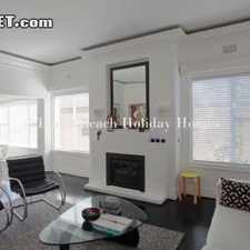


![Rental info for SUNNY & SPACIOUS 2 BEDROOM CAMMERAY APARTMENT [DEPOSIT TAKEN]](https://pp2.walk.sc/t225/p/143571252/3f54b7.jpg)


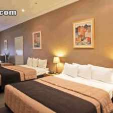
![Rental info for Furnished Apartment in the Heart of Sydney! [DEPOSIT TAKEN]](https://pp3.walk.sc/t225/p/145368659/4b646e.jpg)


