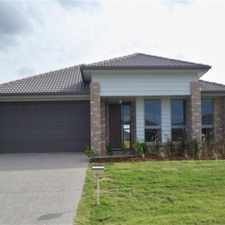
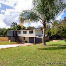
8 Kingsmill Rd

Most errands require a car.

A few nearby public transportation options.
Score Details
8 Kingsmill Rd has a Walk Score of 37 out of 100. This location is a Car-Dependent neighborhood so most errands require a car.
8 Kingsmill Rd is a 17 minute walk from the Rosewood line at the Thomas Street, platform 2 stop.
This location is in the Coalfalls neighborhood in Brisbane. Nearby parks include Ipswich Pteropus Conservation Park, Sutton's Park and Browns Park.
Nearby schools include Roderick Street Community PRE-School & Kindergarten, Brassall Early Learning Centre - Ipswich and Blair State School.
The closest grocery stores are Burnett St Four Square, IGA SUPA Brassall and Sweet Treats Made To Order.
Nearby coffee shops include The Coffee Club, Settlers Inn Hotel and HiSpeed Internet Kiosks. Nearby restaurants include KFC Brassall, Pizza Hut Brassall and Subway® Restaurant.
8 Kingsmill Rd is near Ipswich Pteropus Conservation Park, Sutton's Park and Browns Park.
Explore how far you can travel by car, bus, bike and foot from 8 Kingsmill Rd.
8 Kingsmill Rd has some transit which means a few nearby public transportation options.
Rail lines:
Rosewood line
1.0 km
Ipswich line
1.7 km
Bus lines:
512 Brassall - Riverlink Shopping Centre
0.0 km
515 Brassall - Yamanto & Willowbank
0.8 km
506 Riverlink Shopping Centre - Leichhardt & One Mile
1.3 km
8 Kingsmill Rd is in the Coalfalls neighborhood. Coalfalls is the 201st most walkable neighborhood in Brisbane with a neighborhood Walk Score of 40.




If you are using a screen reader or having trouble reading this website, please call Walk Score customer service at (253) 256-1634.
© 2026 Walk Score