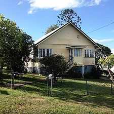
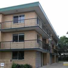
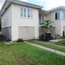
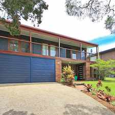
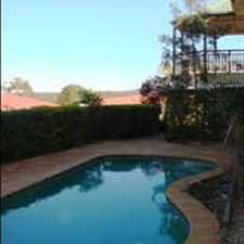
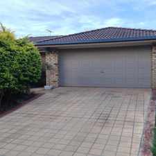
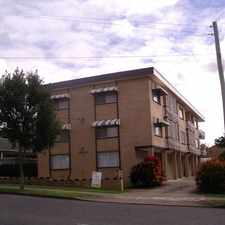
Most errands can be accomplished on foot.

Many nearby public transportation options.
About your score
This location has a Walk Score of 87 out of 100. This location is Very Walkable so most errands can be accomplished on foot.
This location is in the Aspley neighborhood in Brisbane. Nearby parks include Fred Campbell Park, Aspley Rotary Park and Philip Vaughan Park.
Explore how far you can travel by car, bus, bike and foot from this location.
This location has good transit which means many nearby public transportation options.
Rail lines:
IPCA Ipswich line - Caboolture line
2.2 km
BRCA Brisbane City - Caboolture line
2.2 km
RWCA Rosewood line - Caboolture line
2.2 km
SPCA Springfield line - Caboolture line
2.2 km
CASP Caboolture line - Springfield line
2.2 km
CAIP Caboolture line - Ipswich line
2.2 km
CABR Caboolture line - Brisbane City
2.2 km
CARW Caboolture line - Rosewood line
2.2 km
Bus lines:
P344 Carseldine - City Precincts Pre-Paid Express
0.2 km
340 Carseldine - Woolloongabba Express via City
0.2 km
P341 Carseldine - City Pre-Paid Rocket
0.2 km
336 Chermside Clockwise Loop
0.2 km
346 Aspley - City
0.2 km
680 Redcliffe - Chermside via North Lakes & Petrie
0.2 km
338 Strathpine - Chermside
0.2 km
337 Chermside Anti-Clockwise Loop
0.2 km
N345 Aspley - Valley NightLink
0.2 km
351 Aspley - City Rocket via Bridgeman Downs
0.3 km
View all Aspley apartments on a map.

Popular apartment searches include pool and single family.
This location is in the Aspley neighborhood. Aspley is the 78th most walkable neighborhood in Brisbane with a neighborhood Walk Score of 63.

If you are using a screen reader or having trouble reading this website, please call Walk Score customer service at (253) 256-1634.
© 2026 Walk Score